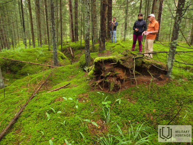
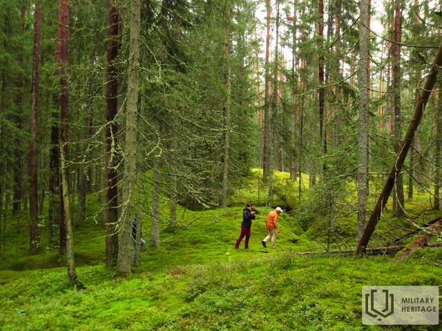
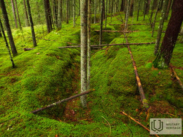
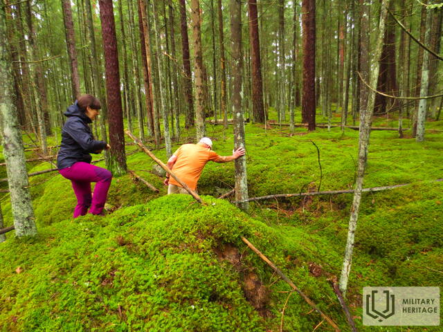
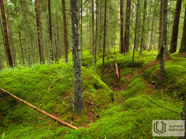
Galima Otomaro Oškalno bunkerio vieta Bunkeris


 57
57


Atoki ir sunkiai prieinama vieta yra didelis miškų masyvas, esantis apie 200 m į vakarus nuo Žegos upės ir apie 0,5 km į pietvakarius nuo Žegos užliejamos lygumos. Į minėtą vietą rekomenduojama nuvykti pėsčiomis arba dviračiu, naudojantis LIDAR žemėlapiais ir geografinėmis koordinatėmis. Minėtoje vietoje yra maždaug kilometro ilgio (V – R kryptimi) ir pusės kilometro pločio (Š – P kryptimi) natūralus kopų kalnagūbris, apaugęs spygliuočių mišku. Kopų masyvo šiaurinio ir rytinio šlaitų viršutinėse dalyse yra gerai išsilaikę apkasai, spėjama, iš Antrojo pasaulinio karo laikų. Harijs Jaunzems (buvęs Kegumo HE inžinierius) mano, kad šioje vietovėje (konkreti vieta nežinoma) buvo Otomāro Oškalnso suformuoto Raudonosios armijos partizanų būrio bunkeris.
Panaudoti šaltiniai ir literatūra:
1. Hario Jaunzemos istorija
2. Otomārs Oškalns, https://lv.wikipedia.org/wiki/Otom%C4%81rs_O%C5%A1kalns
Susijusios temos
Susijusi istorija
Gelbėtas tiltas per Negos upę nuo sprogdinimo
1944 m., vokiečiams traukiantis, buvo susprogdinta daug svarbių objektų ir to išvengti buvo labai sunku, tačiau pasakojama ir apie stebuklingus atvejus, kai vietos gyventojų drąsa ir kareivio tolerancija leido išsaugoti vietos gyventojams svarbias vietas, o lašišos išgyveno. Viena iš istorijų – apie namų šeimininkės ir vokiečių kareivio pokalbį, kuris išgelbėjo visą tiltą nuo susprogdinimo.
Gyvenimas Kegumo pusėje Antrojo pasaulinio karo metu
Blykstelėjo prisiminimai apie dabar jau tolimus karališkuosius laikus. Vyresnei kartai tai primindavo jų pačių patirtį, o jaunesniajai kartai tai galėjo būti nuobodu.


