Princo Leopoldo kelias (Prinz – Leopold Straße)
Infrastruktūra


 64
64


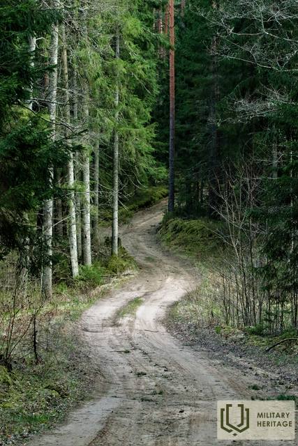
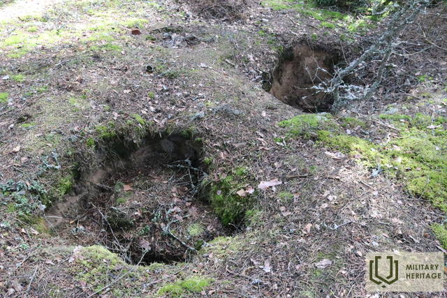
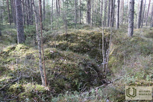
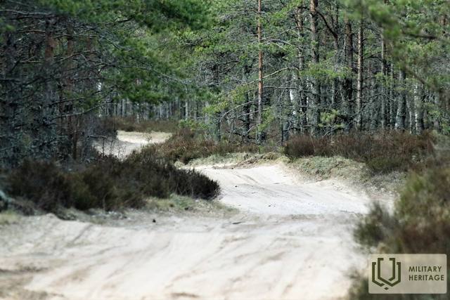
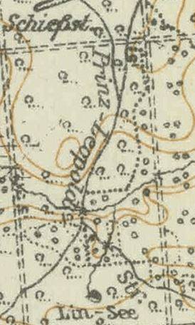
Pirmojo pasaulinio karo vietos (kelio) pavadinimas yra „Prinz – Leopold Straße“ – Kunigaikščio Leopoldo kelias. Istorinis miško kelias arba jo vieta, apie 7 km ilgio, prasidėjo Didžiojo Kurfürsten Damm ir Kaiser Damm sankryžoje prie vadinamojo Kurlando paminklo (Kurland Denkmal) ir vingiuoja per mišką Birzgalės link, susijungdamas su Pirmojo pasaulinio karo siaurojo geležinkelio linija: Lāčplēsis – Latgale. Į vakarus nuo kelio ir apie 2 km į pietus nuo Kurlando paminklo (Kurland Denkmal) yra Pirmojo pasaulinio karo šaudykla. Šiandien Kunigaikščio Leopoldo keliu galima vaikščioti pėsčiomis, važiuoti dviračiu ir automobiliu (tinkamomis sąlygomis). Kelias kerta Konupītę ir Žegos intaką.
Manoma, kad vokiečių armijos kareiviai, ilgą laiką praleidę kairiajame Dauguvos upės krante, šį kelią pavadino Bavarijos princo Leopoldo (1846–1930), kuris Pirmojo pasaulinio karo metu vadovavo Vokietijos ir Austrijos-Vengrijos pajėgoms Rytų fronte, vardu.
Panaudoti šaltiniai ir literatūra:
1. https://www.britishmuseum.org/collection/term/BIOG223345
2. Istoriniai ir kiti žemėlapiai: https://vesture.dodies.lv/#m=15/56.71776/24.69606&l=O/KDW
3. Žemėlapis „1914 – 19 Karte des Weslichen Russlands“
Susijusios temos
Susijusi istorija
Gelbėtas tiltas per Negos upę nuo sprogdinimo
1944 m., vokiečiams traukiantis, buvo susprogdinta daug svarbių objektų ir to išvengti buvo labai sunku, tačiau pasakojama ir apie stebuklingus atvejus, kai vietos gyventojų drąsa ir kareivio tolerancija leido išsaugoti vietos gyventojams svarbias vietas, o lašišos išgyveno. Viena iš istorijų – apie namų šeimininkės ir vokiečių kareivio pokalbį, kuris išgelbėjo visą tiltą nuo susprogdinimo.
Gyvenimas Kegumo pusėje Antrojo pasaulinio karo metu
Blykstelėjo prisiminimai apie dabar jau tolimus karališkuosius laikus. Vyresnei kartai tai primindavo jų pačių patirtį, o jaunesniajai kartai tai galėjo būti nuobodu.


