Former World War I-era railway: Vecumnieki - Mercendarbe
Infrastructure


 53
53


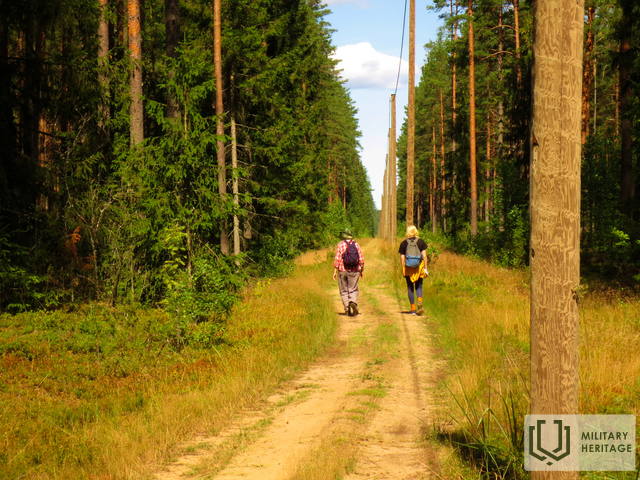
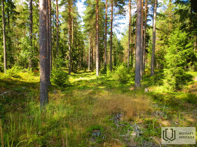
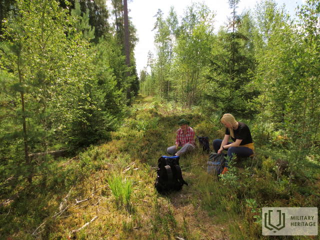
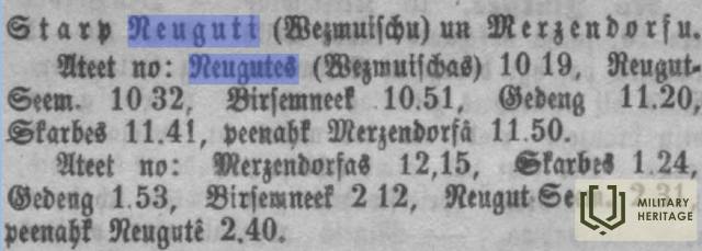
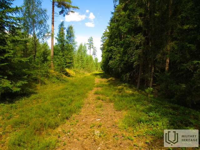
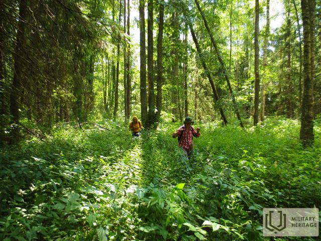
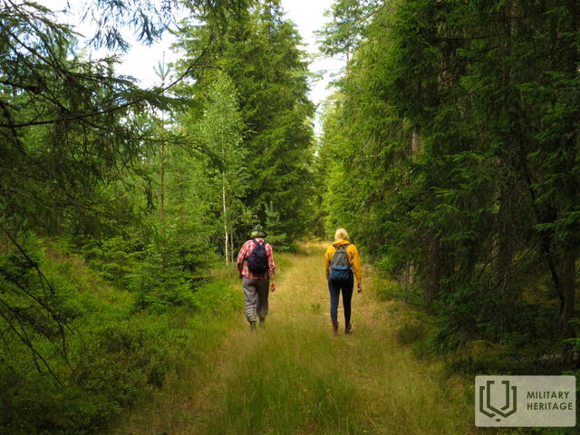
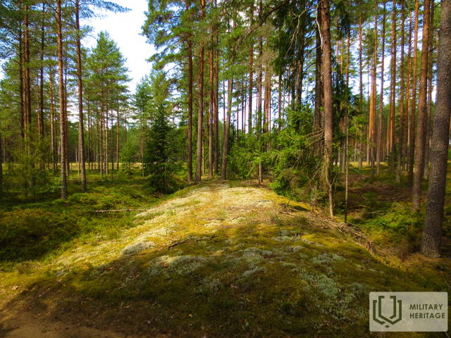
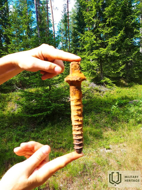
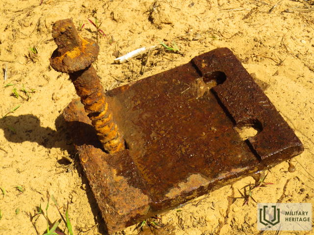
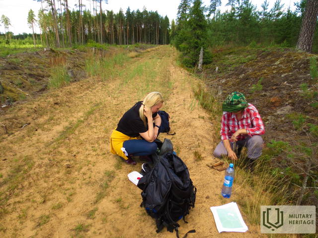
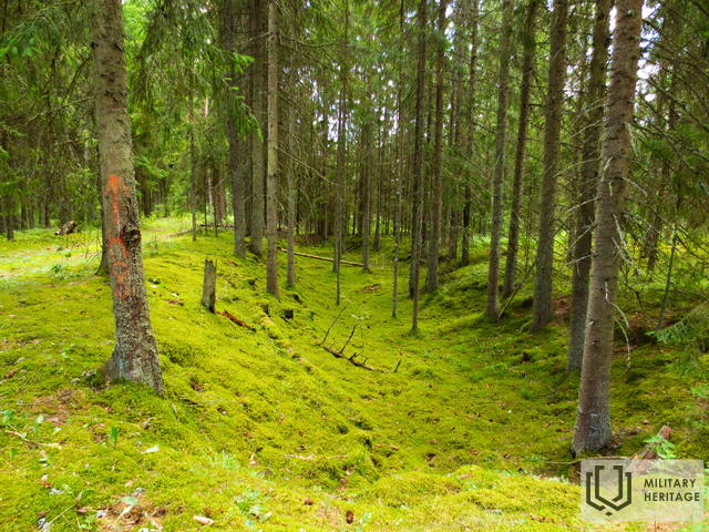
In 1916, when the German army's front line had strengthened and stabilized along the left bank of the Daugava, on March 15, a decision was made to build a 25 km long railway line with a track gauge of 1435 mm from Vecumnieki (Bhf. Neugut Kurland) to Baldone (station: Mercendarbe - Merzendorf) for the needs of supplying the front. On March 30, about 5,000 workers began work, and by May 1, the line had been built to Skarbe station, and on May 6 – to Mercendarbe. The order of the stations from south to north was as follows: Neugut Kurland, Nougut Nord, Birsemnek, Gedeng, Skarbe, Merzendorf. Cargo was transshipped at the largest of the stations, Skarbe, from where it was transported to the front by horse-drawn transport. As late as 1921, Logs and firewood were transported along the railway line until it was demolished in 1925. The location of the railway line varies greatly in different sections – in places it is crossed by roads of various importance, in places it crosses forest massifs as a clearly visible embankment. There are places that are difficult to pass during the vegetation period.
At the former Gediņi station ("Bahnhoff Gedeng"), a narrow-gauge railway branched off in a northeasterly direction, the tracks of which continued towards the Daugava. At the Sila house it crossed Silupi (Kausupi) (former station "Bhf. Sille"), but at the Podnieki house it branched off. The first branch went to the right to Berkavas, and the second to the left to Vilki mountains and then returned to the broad-gauge (1435 mm) railway at the Skarbe station.
In September 1917, the Germans built another narrow-gauge railway line (gauge of 600 mm) from Mercendarbe and Skarbe to the Daugava, where they built a pontoon bridge and opened traffic all the way to Ikšķile on October 1. The flood of December 4 carried away the aforementioned bridge.
Used sources and references:
1. http://forum.myriga.info/index.php?showtopic=4955&st=20
2. Baldone, https://www.baldone.lv/lv/turisms/reiz_baldone/zirgu_tramvajs/
3. Baldone, https://www.baldone.lv/lv/turisms/notikumi/1570_pargajiena_marsruts_skarbes_stacija__mercendarbe__riekstukal/
4. Hand-drawn railway diagram of the Baldone area: http://forum.myriga.info/index.php?act=Attach&type=post&id=61362
5. Map “1914 – 19 Karte des Weslichen Russlands”
6. Map collection of the National Library of Latvia, map “Zusammendruck Riga, Gezeichet u.gedruckt vd Vermessungs – Abt.18., 1: 100 000”.
Your comments
Daumant, thank you very much for the clarifications and corrections!



Additions and corrections: 1) Skarbe and Ezeri (A from Leja lake) were large junction stations, where war materials were transferred to the branched narrow-gauge network, which stretched behind the front on the left bank of the Daugava from Daugmale to Berkava. 2) Narrow gauge lines were not built in September, but before September 1 "Operation Riga" 3) For Gediņi see. correction to "Bhf. Vald Salit"