Niega (Melderupė) ir apylinkės Mūšio vieta

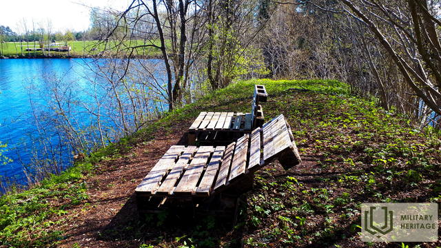
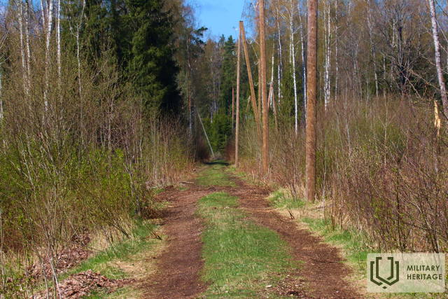
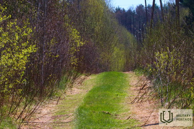
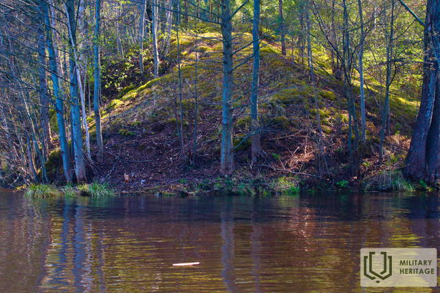
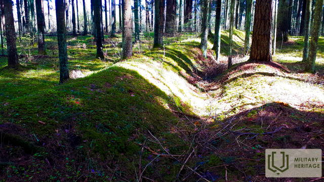
Ėegos upė XX a. 5-ojo dešimtmečio žemėlapiuose vis dar vadinama Melderupi. Pastačius Kegumo HE, paskutiniai 2,6 km jos buvo užtvindyti, suformuojant daugiau nei 100 m pločio upės tęsinį. Siekiant aprūpinti Kegumo HE statybai reikalingu žvyru, rytiniame Ėegos krante buvo įrengtas karjeras, o per upę pastatytas geležinkelio tiltas. Žvyras į naują HE pastatą buvo gabenamas siauruoju geležinkeliu 6 km ilgio geležinkelio linija. Pirmieji du geležinkelio aikštelės kilometrai matomi tiek gamtoje, tiek LIDAR žemėlapiuose. Toliau geležinkelio aikštelė sutampa su šiuolaikiniu Jaunjelgavos – Kegumo keliu (P85). Vakariniame Ėegos krante, apie 0,2 km į šiaurę nuo Tiltininkų namo (savininkai prisimena Antrąjį pasaulinį karą ir su juo susijusius įvykius šioje vietoje), yra šaltinis – populiari vandens paėmimo vieta. XX a. abiejuose pasauliniuose karuose Ėegos apylinkėse vyko aktyvi karinė veikla. Pažvelgus į LIDAR žemėlapius ir gamtoje, į šiaurę nuo P85 kelio ir upės pakrantėse matomos apkasų pozicijos. Į pietus nuo P85 kelio iš pietvakarių prie užlietos Ėegos dalies ribojasi apie 0,8 km ilgio kopagūbris, kurio viršūnėje ir šlaituose iškastos apkasos. Mažo miško keliuko, jungiančio P85 kelią su Liepdegumių namais, pusėje yra atskira kopa, kurios šlaituose esančios stačiakampės duobės rodo, kad čia buvo pastatai ar sandėliai. Minėtą kopą iš šiaurės ir vakarų supa maždaug kilometro ilgio apkasų juosta. Į pietus nuo P85 kelio taip pat matomos žmogaus sukurtos neigiamos reljefo formos. Gamtoje yra tankus apkasų ir pastatų arba/ir sandėlių tinklas (įvairaus dydžio duobių tinklas), kuris taip pat matomas LIDAR žemėlapiuose rytiniame Žegos krante tarp P85 kelio ir Širmeliupytės. 1,8 km į rytus nuo Žegos yra Lezmanių brolių kapinės. Jas galima pasiekti nedideliu miško keliuku, vingiuojančiu aplink Žegą ir Širmelupytę. Trečioji (toliausiai į pietus) apkasų linija, pažymėta Latvijos nacionalinės bibliotekos žemėlapyje „Zusammendruck Riga, Gezeichet u.gedruckt vd Vermessungs“, LIDAR žemėlapiuose ir gamtoje aiškiai matoma ir šiandien – po šimtmečio.
Panaudoti šaltiniai ir literatūra:
1. Istoriniai, LIDAR ir kiti žemėlapiai: https://vesture.dodies.lv/#m=15/56.71776/24.69606&l=O/KDW
2. Latvijos nacionalinės bibliotekos žemėlapių kolekcija, žemėlapis „Zusammendruck Riga, Gezeichet u.gedruckt vd Vermessungs“ – Abt.18., 1: 100 000“
3. Kegumos HE statyba, https://energetikasmantojums.lv/interesanti-fakti-par-keguma-hes-celtniecibu/
Susijusi istorija
Gelbėtas tiltas per Negos upę nuo sprogdinimo
1944 m., vokiečiams traukiantis, buvo susprogdinta daug svarbių objektų ir to išvengti buvo labai sunku, tačiau pasakojama ir apie stebuklingus atvejus, kai vietos gyventojų drąsa ir kareivio tolerancija leido išsaugoti vietos gyventojams svarbias vietas, o lašišos išgyveno. Viena iš istorijų – apie namų šeimininkės ir vokiečių kareivio pokalbį, kuris išgelbėjo visą tiltą nuo susprogdinimo.
Gyvenimas Kegumo pusėje Antrojo pasaulinio karo metu
Blykstelėjo prisiminimai apie dabar jau tolimus karališkuosius laikus. Vyresnei kartai tai primindavo jų pačių patirtį, o jaunesniajai kartai tai galėjo būti nuobodu.


