Siaurojo geležinkelio linija I pasaulinio karo metais: Lāčplēsis – Latgala
Infrastruktūra


 60
60


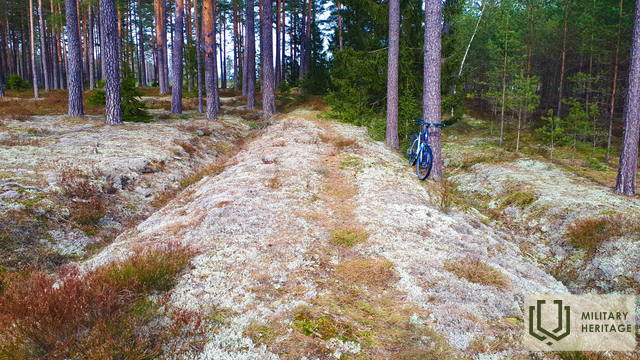
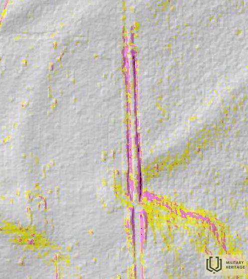
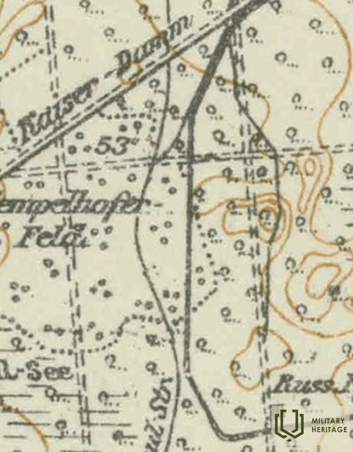
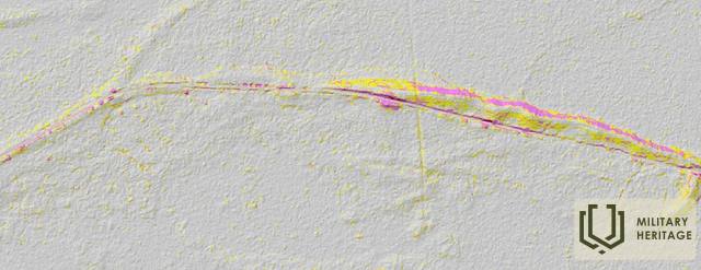
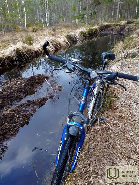
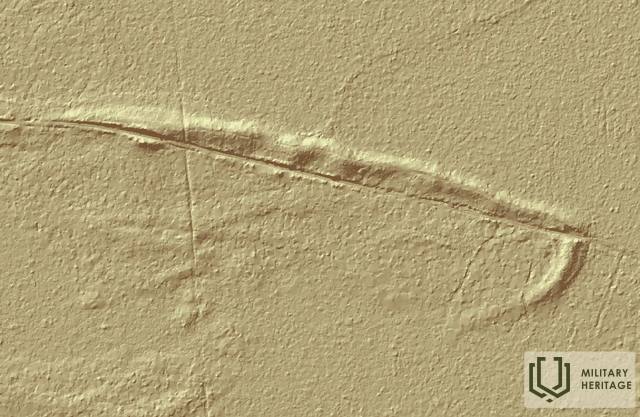
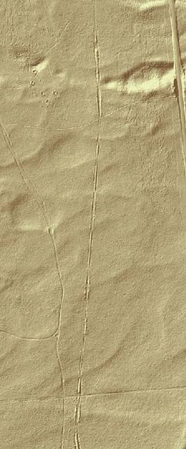
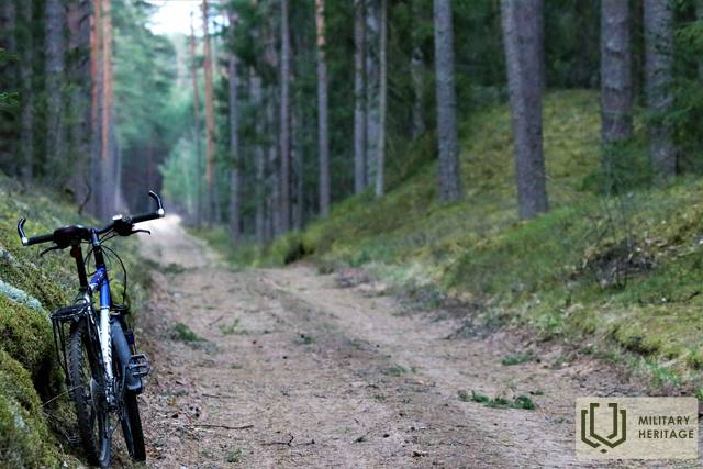
Maždaug 22 km ilgio Pirmojo pasaulinio karo siaurojo geležinkelio linija, prasidėjusi dabartinėje Lāčplēsio (Jelgavos–Krustpilio geležinkelio linijos) geležinkelio stotyje (buvusi Bahnhoff Kerghof), iš rytų apjojo Birzgalius, kirto Žegos upę, tada pasuko į vakarus, du kartus kirsdama šiuolaikinį Abermaņa kelią (jungiantį Ķegumą su Vecumniekų (P88) keliu) ir toliau palei Ķeizardambi (Kaiser–Damm) iki buvusio Kuršo paminklo (Kurland Denkmal), kur, sprendžiant iš matomo LIDAR žemėlapio (padalinto į tris atšakas?), buvo galutinė stotis. Kuršo paminklas buvo 680 m į pietryčius nuo Latgalės kaimo. Pagrindinė geležinkelio paskirtis buvo aprūpinti ir paremti frontą kairiajame Dauguvos krante reikalingu turtu. Pirmojo pasaulinio karo metu netoli Ķeizerdambo buvo vokiečių armijos kareivinės ir sandėliai, o kairiajame Dauguvos krante ties Puduriais (0,6 km) ir Podniekiais (0,9 km) buvo trys vokiečių armijos betoniniai ugnies punktai. Šiandien geležinkelio linijos vietą galima atsekti naudojant LIDAR žemėlapius gamtoje. Kai kurios jos dalys taip pat aiškiai matomos gamtoje, ypač kai augmenija dar nesuaugusi. Geriausias laikas leistis į ekspediciją yra ankstyvas pavasaris arba žiema, kai nėra sniego.
Panaudoti šaltiniai ir literatūra:
1. Žemėlapis „1914 – 19 Karte des Weslichen Russlands“
2. Žemėlapis: JS Baltija, 3.5 versija
3. Latvijos nacionalinės bibliotekos žemėlapių kolekcija, žemėlapis „Zusammendruck Riga, Gezeichet u.gedruckt vd Vermessungs – Abt.18., 1: 100 000“.
https://www.lvmgeo.lv/kartes
4. Istoriniai ir kiti žemėlapiai: https://vesture.dodies.lv/#m=15/56.71776/24.69606&l=O/KDW


