"Daugava road" (Düna Weg) Infrastruktūra


 50
50


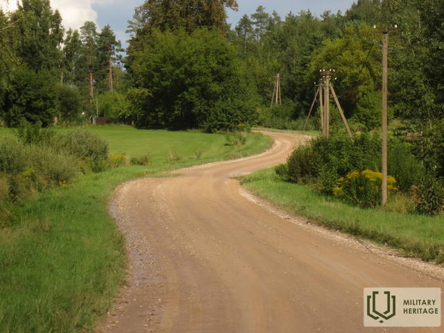
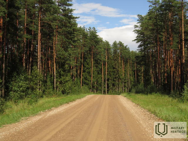
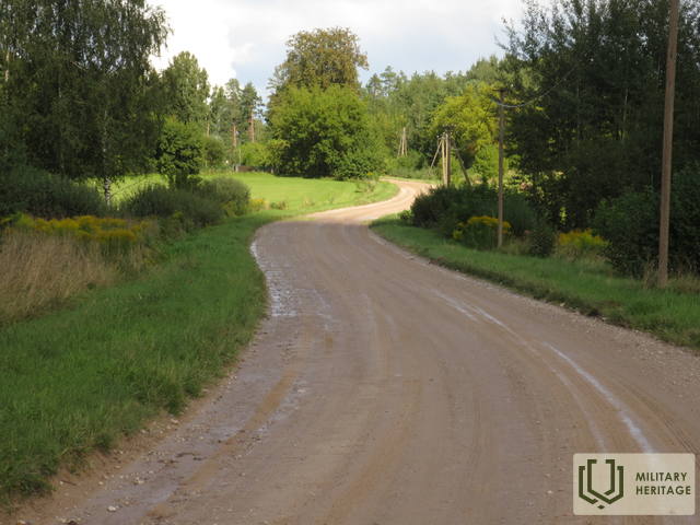
On the map of the First World War, the section of the road (the present Baldones - Tomes road, V4) is named "Düna Straße" - Daugava street or Daugava road. To the north of it was the Toms Manor (Gut Tomsdorf), the Wheel Hill and a dense network of small forest roads and trails, each given its own name on World War I German Army maps. During the First World War, the Daugava road was crossed by a narrow-gauge railway (it started from the Gediņu station "Bahnhoff Gedeng" at the Vecumnieki - Mercendarbe railway during the First World War, 1435 mm wide), whose tracks continued in the direction of the Daugava. It crossed Silupi (Kausupi) near Sille houses (former station "Bhf. Sille), but near Podnieki houses it branched. The first branch went to the right to Berkava, and the second to the left to Vilku mountains and then returned to the broad gauge (1435 mm) at the Skarbe railway station. Nowadays, the 17 km long and winding gravel road connecting Baldoni to Tomi winds through a larger forest massif, crossing the inland dune area, the highest peak of which is Rata Kalns - 67.8 m above sea level. The Baldone - Tomi road is ancient a historic road that had military strategic importance during both world wars of the 20th century.
Panaudoti šaltiniai ir literatūra:
1. Map “1914 – 19 Map of Western Russia”
Jūsų komentarai
Daumantai, labai ačiū už pataisymus ir paaiškinimus.


„Bhf. (Bahnhoff) Salit“ – „Meža Sīlīši“ nebuvo galutinė to geležinkelio stotis, tačiau bėgiai tęsėsi Dauguvos kryptimi. Geležinkelis kerta Šilupį prie Šilų namų. Tai buvo stotis "Bhf. Sille". Toliau, prie Poterių namų, išsišakojo. Pirma atšaka į dešinę į Berkavą. Antrasis išvažiavo į Vilko kalnus, kad grįžtų į plačią geležinkelį Skarbės stotyje.