Pušų kalnas Infrastruktūra


 80
80


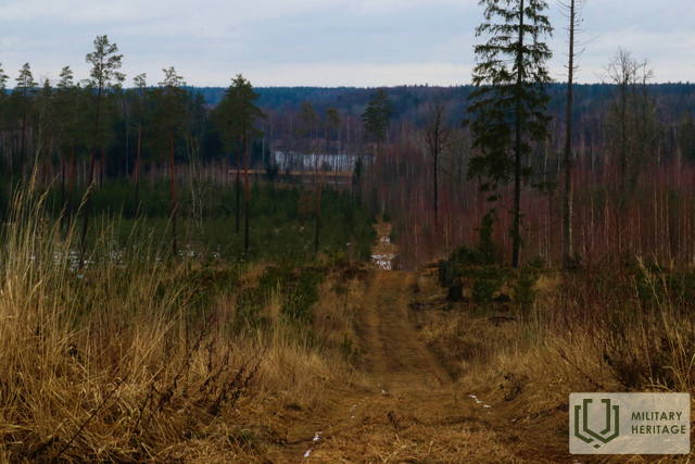
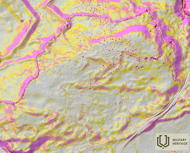
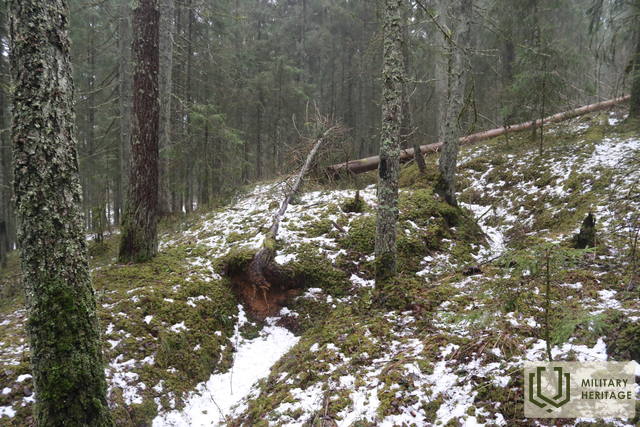
Įsikūręs Dauguvos kairiajame krante tarp Rygos HES – Jaunjelgavos (P85) ir Bauskės – Aizkrauklės (P87) kelių. Jo vakarinį šlaitą kerta vadinamasis Degumu kelias. Labai ryški reljefo forma – 84 m virš jūros lygio, kuris Pirmojo ir Antrojo pasaulinių karų metu buvo strategiškai svarbi vieta Dauguvos kairiojo kranto fronto linijoje. Iš trijų pusių kalną (išskyrus pietinę jo dalį) dengia apkasai, tačiau kalno plynaukštė ir šlaitai išraižyti įvairaus dydžio duobėmis, kurios aiškiai matomos tiek gamtoje, tiek LIDAR žemėlapiuose. Iš rytų Priežių kalną supa gili Radžio upelio dauba. Priežių kalną reikėtų laikyti didesnio karinio „komplekso“ (iš abiejų XX a. pasaulinių karų) dalimi: 0,8 km į šiaurės rytus nuo jo buvo Antrojo pasaulinio karo metu vokiečių armijos pastatytas tiltas per Dauguvą (krantuose išlikę stulpai), 1,3 km į rytus nuo jo – Āmurkalnyje – pastatytas „flakturmas“, o už 6 km Taurkalnėje – Jelgavos–Krustpilio geležinkelio stotis su Antrojo pasaulinio karo amunicijos sandėliu (pagal legendą), o mažiau nei kilometrą į pietus – Pirmojo pasaulinio karo laikų Vecluikų brolių kapinės. Priežių kalno viršūnę galima pasiekti nedideliu keliuku, vedančiu į mobiliojo ryšio bokštą. Dauguvos slėnis aiškiai matomas iš šiaurėje iškirsto miško tako. Ištisinė apkasų linija (galima atsekti gamtoje ir LIDAR žemėlapiuose), juosianti Priežių kalną, tęsiasi daugiau nei 9 km vakarų-šiaurės vakarų kryptimi iki pat Enkurniekių–Lāčplēsio kelio. Priežių ir Smilšų kalvų apylinkės (2,9 km į pietvakarius nuo Priežių kalvų) yra tinkama vieta žygiams pėsčiomis.
Panaudoti šaltiniai ir literatūra:
1. Latvijos nacionalinės bibliotekos žemėlapių kolekcija, žemėlapis „Zusammendruck Riga, Gezeichet u.gedruckt vd Vermessungs“ – Abt.18., 1: 100 000“.
2. Istoriniai, LIDAR ir kiti žemėlapiai: https://vesture.dodies.lv/#m=15/56.71776/24.69606&l=O/KDW


