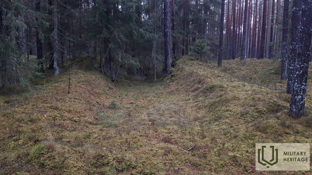
Buvusių Pirmojo pasaulinio karo kareivinių vieta
Karinis miestas


 57
57


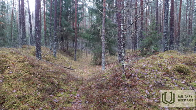
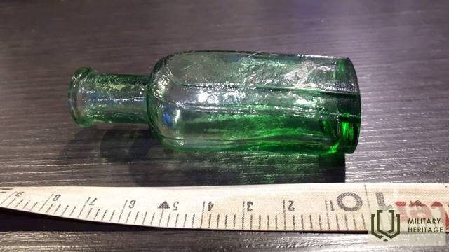
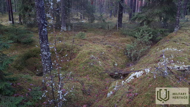
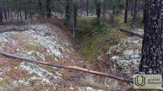
Įsikūręs miške 0,6–0,7 km į pietus nuo Latgalos kaimo. Geriausias vaizdas apie teritoriją susidaro, jei ji prieš tai ištirta LIDAR žemėlapiuose, nes gamtoje prieš šimtmetį žmonių iškastų tranšėjų ir kitų žemės paviršiaus darinių padėtis gali likti nepastebėta nepažįstamojo. Sprendžiant iš plytinės liekanų ir kitų kasinėjimuose (kuriuos atliko kažkas kitas) matomų ženklų, čia buvo vokiečių armijos kareivinės. Šalia kareivinių palei Didžiąją Kurfirst užtvanką nuo šiuolaikinės Lāčplēsio stoties palei Birzgalius ir toliau iki Dauguvos fronto linijos aprūpinimo buvo nutiestas siaurasis geležinkelis. 0,5 km į rytus nuo kareivinių buvo vadinamasis Kurlando arba Mātītės paminklas (Kurland Denkmal), tačiau kairiajame Dauguvos krante, 1,3 km spinduliu aplink kareivines, buvo pastatyti trys gelžbetoniniai ugnies punktai (išlikę iki šių dienų, tačiau vieno liekanos yra po vandeniu ir atsiranda tik sumažinus HE vandens lygį), o 0,6 km į vakarus nuo jų buvo šaudykla, kurios gamtoje nieko neišliko. Aplink šaudyklą gamtoje matomos duobės – buvusių pastatų ir įtvirtinimų liekanos. Maždaug 100–200 m į pietryčius nuo buvusių kareivinių vietos gamtoje aiškiai matomi trys–30 m ilgio stačiakampiai apkasai (ir mažesni), kurie galėjo būti sandėliai.
Panaudoti šaltiniai ir literatūra:
1. Latvijos valstybinių miškų žemėlapiai: https://www.lvmgeo.lv/kartes
2. Istoriniai ir kiti žemėlapiai: https://vesture.dodies.lv/#m=15/56.71776/24.69606&l=O/KDW
3. Žemėlapis „1914 – 19 Karte des Weslichen Russlands“
4. Latvijos nacionalinės bibliotekos žemėlapių kolekcija, žemėlapis „Zusammendruck Riga, Gezeichet u.gedruckt vd Vermessungs – Abt.18., 1: 100 000“


