Tempelhofo laukas (Tempelhofo laukas)
Infrastruktūra


 55
55


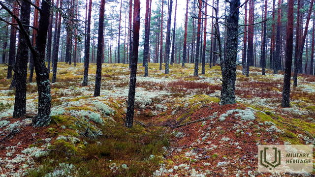
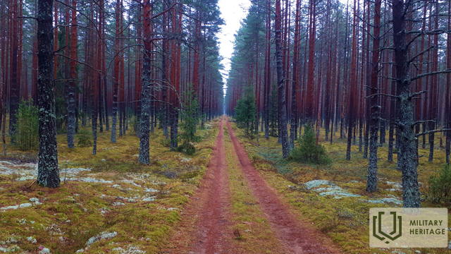
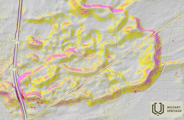
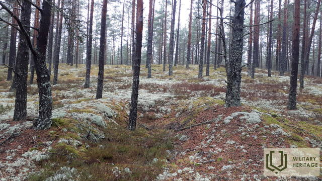
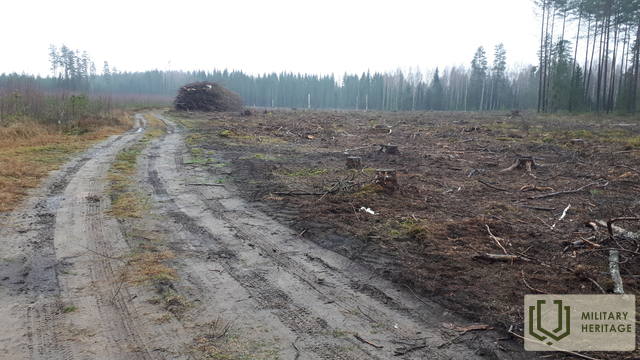
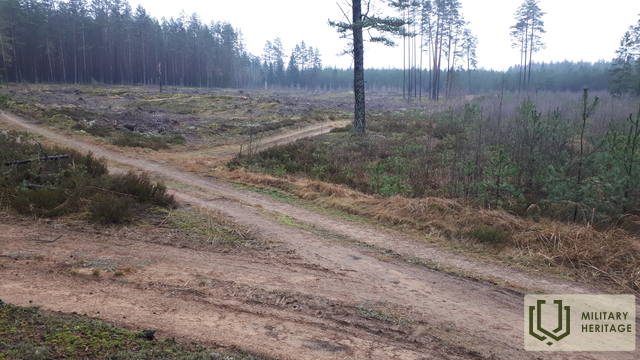
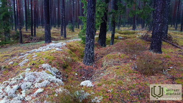
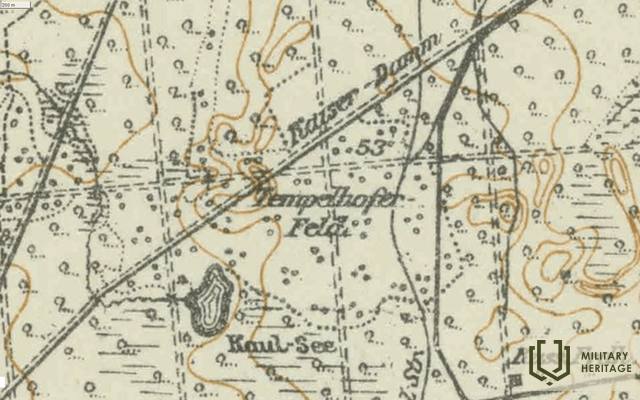
Vietovės pavadinimas Pirmojo pasaulinio karo metais – „Tempelhofer Feld“ – Tempelhofo laukas, matomas Vokietijos armijos žemėlapyje. Jis buvo tarp Kaiserdamo ir Kaul-See, kuris dabar užpelkėjęs. Iš šiaurės Tempelhofo lauko teritoriją supa ryškus sausumos kopų masyvas su miško proskynomis. Kopų šlaituose LIDAR žemėlapiuose ir gamtoje matyti karo laikų apkasų ir kareivinių (?) pėdsakai. 1940 m. žemėlapyje „NARA Aerofoto“ Tempelhofo lauko vietoje matoma 1,7 km ilgio ir 0,8 km pločio atvira miškų apsupta teritorija.
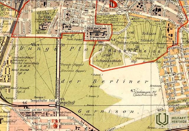
Manoma, kad pavadinimą suteikė Vokietijos armija Pirmojo pasaulinio karo metu pagal tą pačią vietą pietų Berlyne, kur buvo įkurta Berlyno garnizono paradų aikštė. Ši vieta buvo siejama su Vokietijos karine ir aviacijos istorija – joje buvo įkurtas aerodromas. Šiandien jis yra Tempelhofo parke.
Panaudoti šaltiniai ir literatūra:
1. Latvijos valstybinių miškų žemėlapiai: https://www.lvmgeo.lv/kartes
2. Istoriniai ir kiti žemėlapiai: https://vesture.dodies.lv/#m=15/56.71776/24.69606&l=O/KDW
3. „1940 m. NARA aerofotonuotrauka“
4. Žemėlapis „1914 – 19 Karte des Weslichen Russlands“
5. Latvijos nacionalinės bibliotekos žemėlapių kolekcija, žemėlapis „Zusammendruck Riga, Gezeichet u.gedruckt vd Vermessungs – Abt.18., 1: 100 000“


