Ķeizerdambis (Kaiser-Damm) Infrastruktūra


 57
57


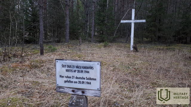
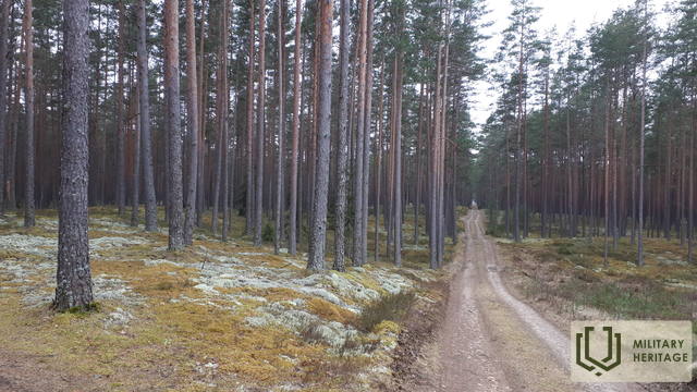
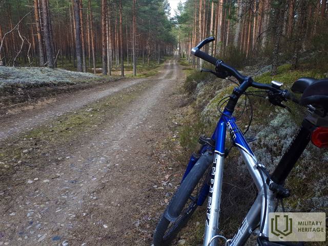
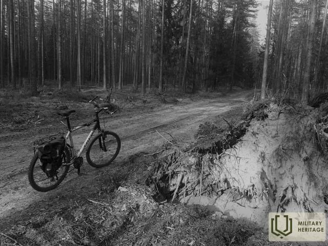
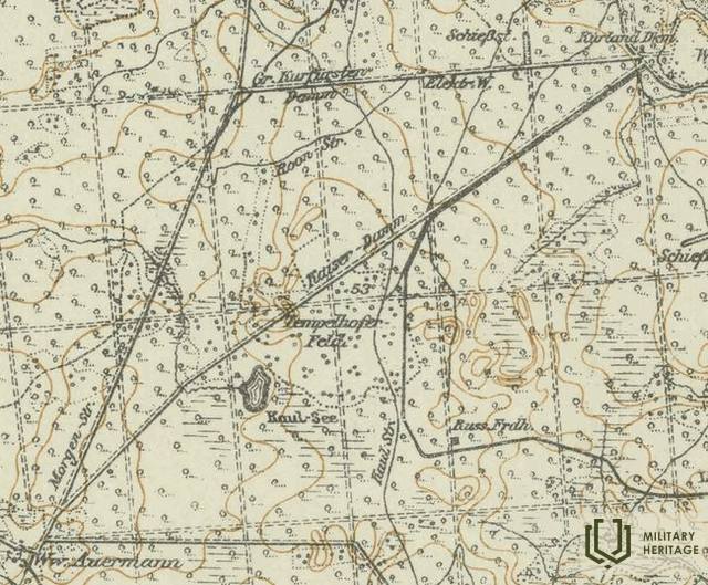
Pirmojo pasaulinio karo Vokietijos armijos žemėlapiuose buvo pažymėtas maždaug 8 km ilgio kelias šiuo pavadinimu, prasidedantis nuo buvusio Kurlando paminklo (Kurland Denkmal), vėliau populiariai vadinamo Mātīte paminklu, ir pasibaigiantis prie buvusio Auermanno namo (Auermann). Šiandien Ķeizerdambis, orientuotas šiaurės rytų-pietvakarių kryptimi, per visą jo ilgį gali būti vaikščiojamas arba važiuojamas dviračiu. Jis driekiasi apie 4 km kaip miško-žemės (vietomis su stambiais žvyro gabalėliais) kelias ir 4 km kaip žvyrkelis (sutampantis su Latvijos valstybinių miškų nutiestais Abermaņas ir Egle-Kaulupe keliais). Ruožas tarp Elge-Kaulupe kelio ir Abermaņas kelio LVM žemėlapiuose dar vadinamas Mātīte taku. Vidurinėje atkarpoje Ķeizerdambis kerta gražų sausumos kopų masyvą, kurio apylinkėse LIDAR žemėlapiuose matomi karo laikų apkasai ir statybvietės. Prie buvusio Aurmanio namo, toje vietoje, kur palaidoti 21 vokiečių armijos kareiviai (žuvę apie 1944 m. rugsėjo 20 d.), pastatytas baltas medinis kryžius.
Gali būti, kad Kaiserdamm pavadinimas, atsiradęs, kai Pirmojo pasaulinio karo metu čia buvo dislokuota vokiečių kariuomenė, kilęs iš Kaiserdamm – 50 m pločio ir 1680 m ilgio gatvės Berlyne, atidarytos 1906 m.
Panaudoti šaltiniai ir literatūra:
1. Kaiserdamm, https://en.wikipedia.org/wiki/Kaiserdamm
2. Latvijos valstybinių miškų žemėlapiai: https://www.lvmgeo.lv/kartes
3. Istoriniai ir kiti žemėlapiai: https://vesture.dodies.lv/#m=15/56.71776/24.69606&l=O/KDW


