Didžioji rinkimų krantinė (Große Kurfürsten Damm)
Infrastruktūra


 56
56


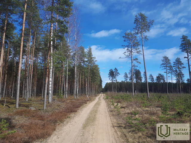
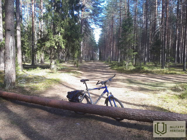
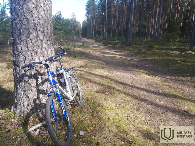
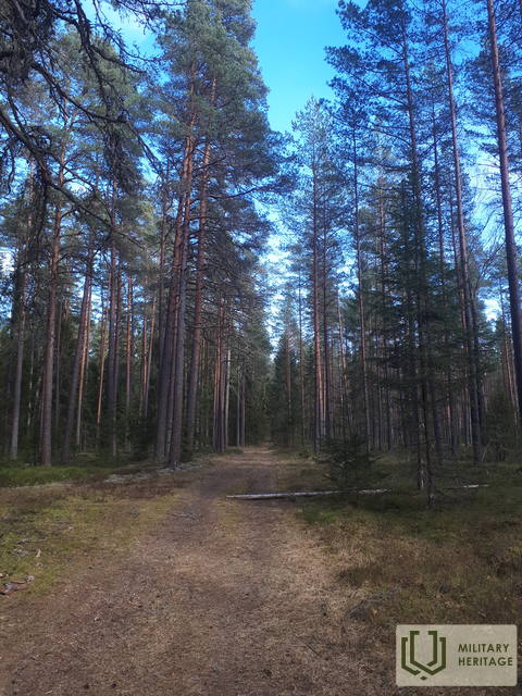
Maždaug 4 km ilgio, vakarų-rytų kryptimi driekiantis miško kelias tokiu pavadinimu, pažymėtas Pirmojo pasaulinio karo žemėlapiuose, prasidėjo prie buvusio Kurlando paminklo (Kurland Denkmal) arba vėliau populiariai vadinto Mātīte paminklu ir baigėsi dviejų kelių (prieinamų gamtoje) Hütten Straße ir Morgen Straße sankryžoje. Maždaug 2 km jis driekiasi kaip tiesus miško-žvyro kelias, 0,8 km – kaip žvyrkelis (sutampantis su Latvijos valstybinių miškų nutiestu Egles-Kaulupe keliu), o likusi dalis – kaip takas – nepravažiuojamas automobiliu, bet pravažiuojamas gamtoje arba dviračiu. Sprendžiant iš kito žemėlapio (Zusammendruck Riga, 1: 100 000) ir LIDAR žemėlapių, Pirmojo pasaulinio karo metu Didžiosios Kurfirst užtvankos ir Morgen Straße sankryžoje buvo vokiečių armijos stovykla arba sandėliai (Lager).
Manoma, kad pavadinimas, kilęs iš Kurfürstendamm gatvės, vienos iš centrinių Berlyno gatvių (pavadintos Brandenburgo rinkėjų vardais), kuri šiandien yra populiari turistų ir apsipirkimo vieta. Gatvės pavadinimas pirmą kartą paminėtas 1767–1787 m.
Panaudoti šaltiniai ir literatūra:
1. https://www.berlin.de/sehenswuerdigkeiten/3561166-3558930-kurfuerstendamm.html
2. https://lt.wikipedia.org/wiki/Kurf%C3%BCrstendamm
3. UAB „Latvijas Valsts meži“ žemėlapiai: https://www.lvmgeo.lv/kartes
4. Istoriniai ir kiti žemėlapiai: https://vesture.dodies.lv/#m=15/56.71776/24.69606&l=O/KDW
5. Latvijos nacionalinės bibliotekos žemėlapių kolekcija, žemėlapis „Zusammendruck Riga, Gezeichet u.gedruckt vd Vermessungs – Abt.18., 1: 100 000“.
Susijusi istorija
Gyvenimas Kegumo pusėje Antrojo pasaulinio karo metu
Blykstelėjo prisiminimai apie dabar jau tolimus karališkuosius laikus. Vyresnei kartai tai primindavo jų pačių patirtį, o jaunesniajai kartai tai galėjo būti nuobodu.


