Ratos kalva Infrastruktūra

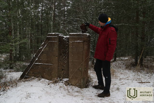
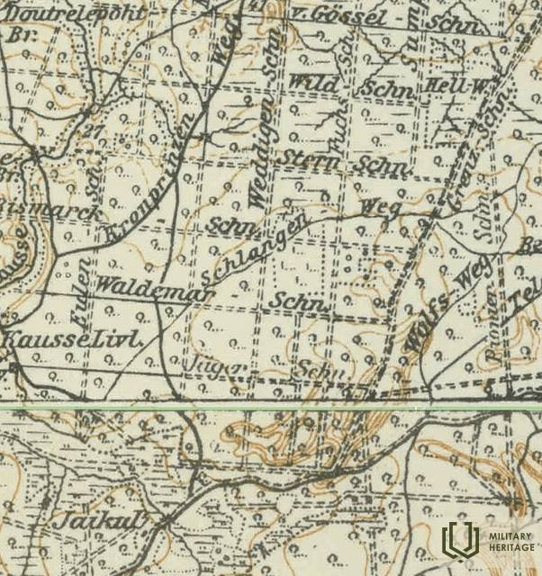
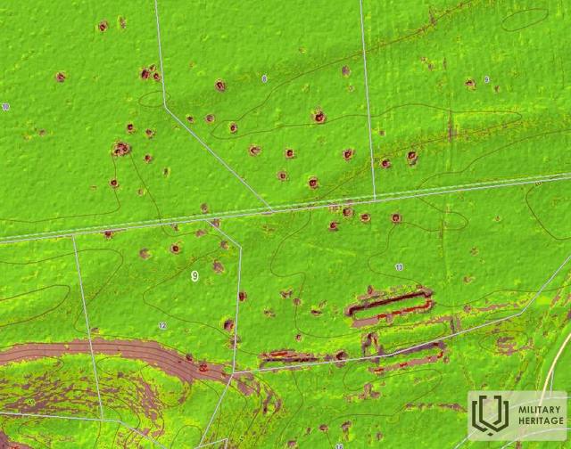
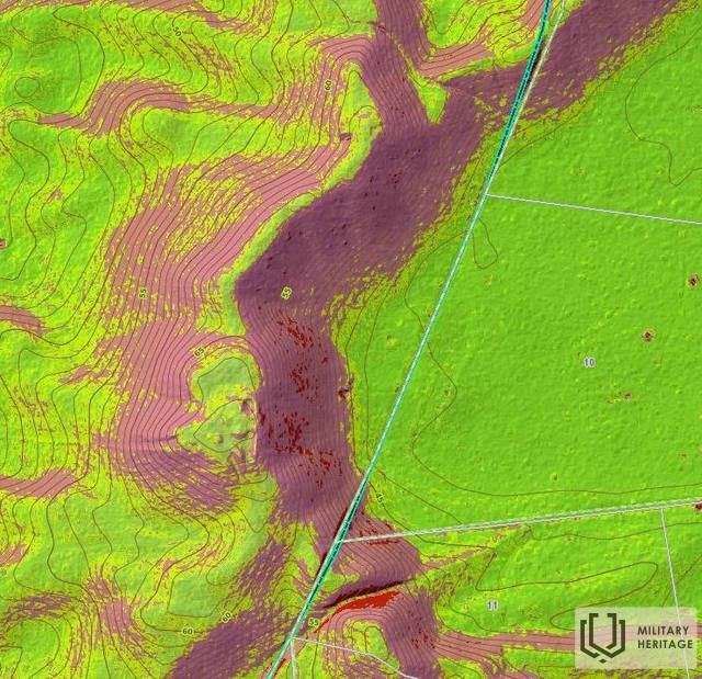
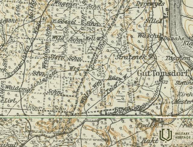
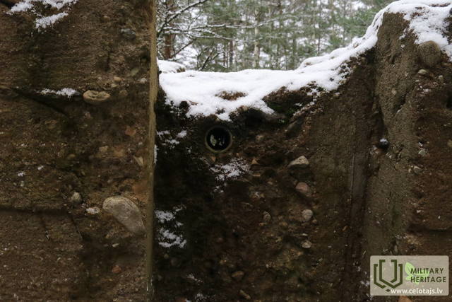
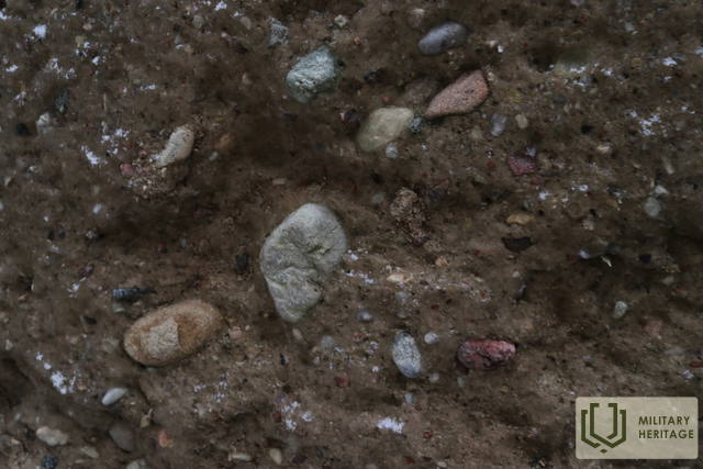
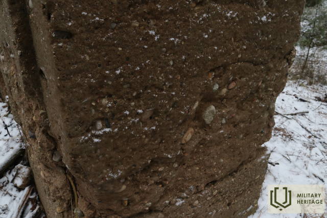
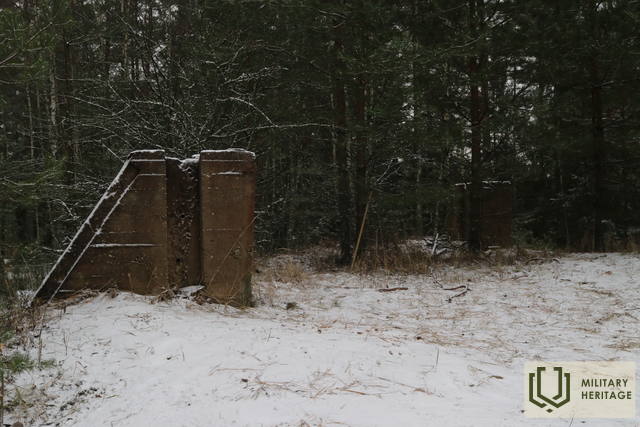
Aukščiausias sausumos kopų masyvo taškas, esantis į vakarus nuo Tomeso kaimo, yra Ratos kalnas (67,8 m virš jūros lygio). Jo apylinkėse stūkso šviesūs pušynai, nuo kurių atsiveria geras vaizdas į įspūdingų kopų ataugas ir šlaitus. Ratos kalną lengva pasiekti pėsčiomis (0,6 km) iš Latvijos valstybinių miškų (LVM) poilsio zonos „Sēņotāju māja“. Abiejose nedidelio miško keliuko, kuriuo einame kalno link, pusėse gamtoje (ir LIDAR žemėlapiuose) matomos daugiau nei 40 panašaus dydžio stačiakampių duobių ir trys apie 50 m ilgio tranšėjos. Gali būti, kad Pirmojo pasaulinio karo metu čia buvo vokiečių armijos sandėlis, iš trijų pusių apsuptas netoliese esančių kopų. Manoma, kad betoninės konstrukcijos aukščiausiame Ratos kalno taške yra buvusio gaisrų stebėjimo (ar trianguliacijos?) bokšto liekanos, kurio medinės dalys buvo pritvirtintos prie betoninių stulpų. Straipsnį apie slidinėjimo kelionę į Ratos kalnus galima rasti sovietmečio periodiniame leidinyje. Kasmet Rata kalvų apylinkėse rengiamas grybų rinkimo čempionatas.
Panaudoti šaltiniai ir literatūra:
1. Žemėlapis „1914 – 19 Karte des Weslichen Russlands“
2. UAB „Latvijas Valsts meži“ žemėlapiai: https://www.lvmgeo.lv/kartes
3. Istoriniai ir kiti žemėlapiai: https://vesture.dodies.lv/#m=15/56.71776/24.69606&l=O/KDW
4. Latvijos parapijos. Enciklopedija. 2001.
5. Vėl ant slidžių. „Riga Voice“, Nr. 34. (1984.02.10.) iš LNB periodinių leidinių.
Susijusi istorija
Gyvenimas Kegumo pusėje Antrojo pasaulinio karo metu
Blykstelėjo prisiminimai apie dabar jau tolimus karališkuosius laikus. Vyresnei kartai tai primindavo jų pačių patirtį, o jaunesniajai kartai tai galėjo būti nuobodu.


