
Pangos karinis takas Takas


 228
228


Šis karinis pėsčiųjų takas yra Saremos šiaurinėje pakrantėje, 1,5 km į šiaurės vakarus nuo Pangos kaimo. Patogiausia patekti į Pangą yra per Võhmą.
Takas driekiasi palei Pangos krantą – aukščiausią atviros uolienos krantą Vakarų Estijoje ir salose. Jo ilgis ir atvirumas jūrai lemia, kad krantas yra ypatingas reljefo ir patrauklus turistams. Jis yra Pangos gamtos parke, šiaurėje ir šiaurės rytuose apsuptas Baltijos jūros, vakaruose – Kudemos įlankos (svarbios paukščių buveinės) žiočių, o pietuose ir rytuose – miškų.
Pangos krantinėje aktyvių kovų nevyko. Ši teritorija buvo naudojama gynybos tikslais, nes tai buvo ribotos prieigos zona Sovietų Sąjungos pasienyje.
Saulės laikrodis žymi vietą, kur kadaise stovėjo prožektorius, saugantis valstybės sieną.
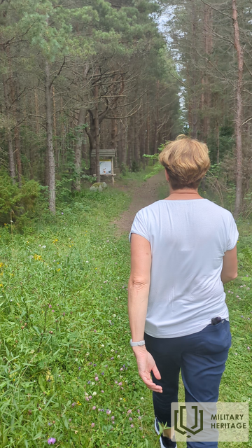
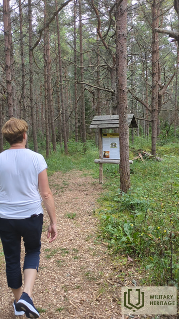
Šiandien 2 km ilgio karinis pėsčiųjų takas driekiasi pro įvairių karinių objektų griuvėsius.
