Lepės-Kaimri prieštankinė linija Memorialinė vieta

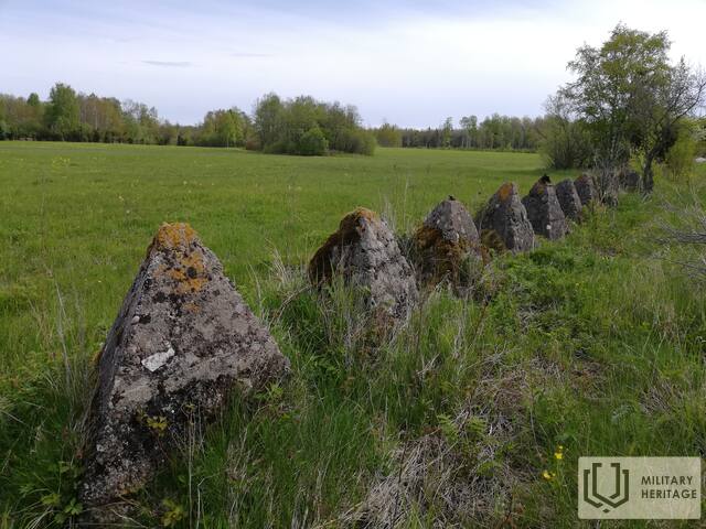
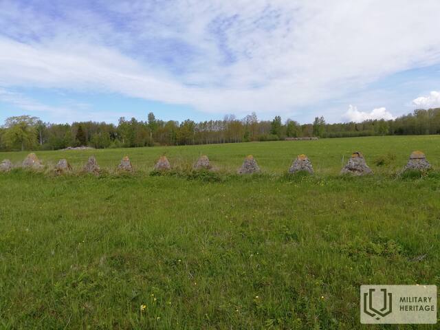
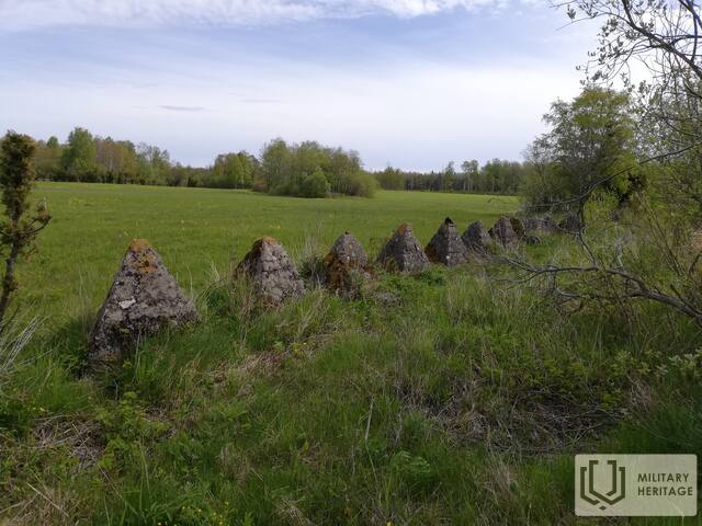
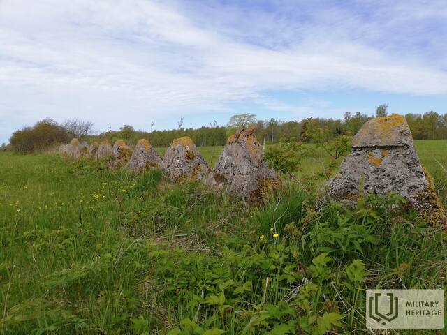
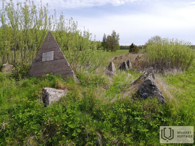
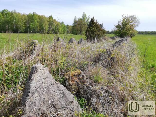
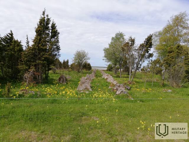
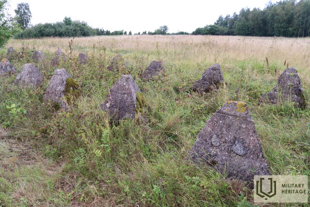
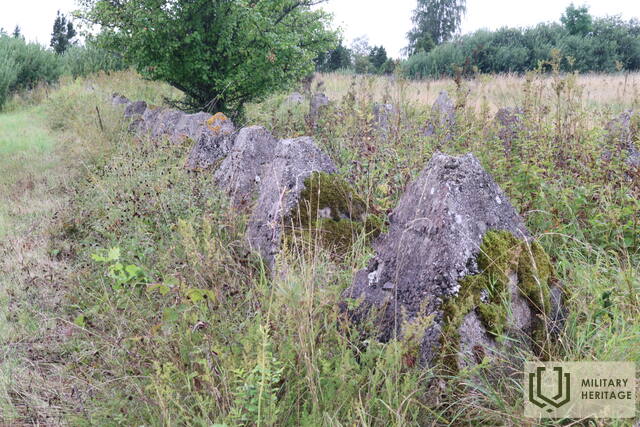
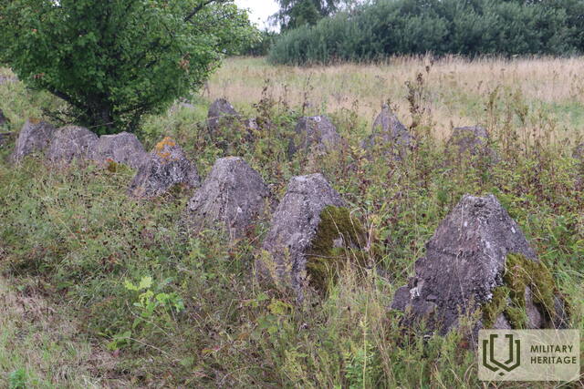
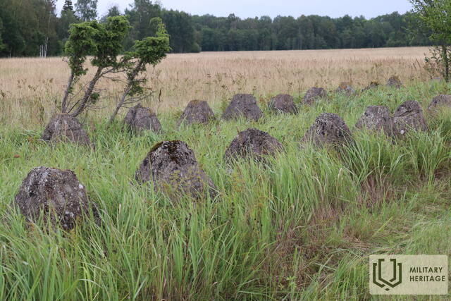
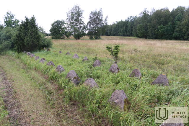
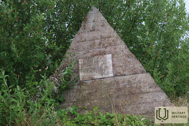
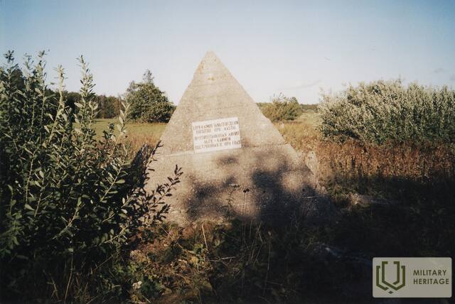
1941 m. rugsėjo 16 d. sovietų pajėgos pradėjo Lõpe-Kaimri prieštankinės linijos statybą, siekdamos sustabdyti vokiečių puolimą. Ji driekiasi iš vakarų į rytus pietinėje Sõrve pusiasalio sąsmaukos dalyje, kurios plotis šiuo metu yra vos 3,2 km. Prieštankinė linija, kurią sudaro dvi betoninių piramidžių eilės, besitęsiančios 900 metrų nuo Lõu įlankos iki Teesu kaimo, yra geros būklės. Ją sudaro dvi 0,8 metro aukščio piramidžių eilės, išdėstytos vieno metro atstumu viena nuo kitos. Kai kuriose gana gerai išsilaikiusios prieštankinės linijos dalyse yra tarpų, rodančių vietas, kuriose priešas prasiveržė. Ši vieta yra lengvai pasiekiama ir aiškiai matoma nuo kelio, einančio vakarine sąsmauko puse. Linijoje 1969 m. atidengtas paminklas, vaizduojantis aukštą betoninę piramidę su užrašu: „Lõpe-Kaimri prieštankinė linija, pastatyta 1941 m.“.
Susijusi laiko juosta
Susijusios temos
Susijusi istorija
Kaimri gynybos linijos pabaiga
1941 m. rugsėjo 16 d., sėkmingai puoliant vokiečių kariuomenės Muhu ir Saremos salose, buvo pradėti gynybinės linijos tarp Lõpe, Teesü ir Kaimri kaimų įrengimo darbai.


