Taurkalne German army warehouse site Infrastructure


 86
86


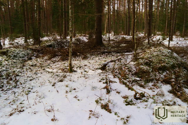
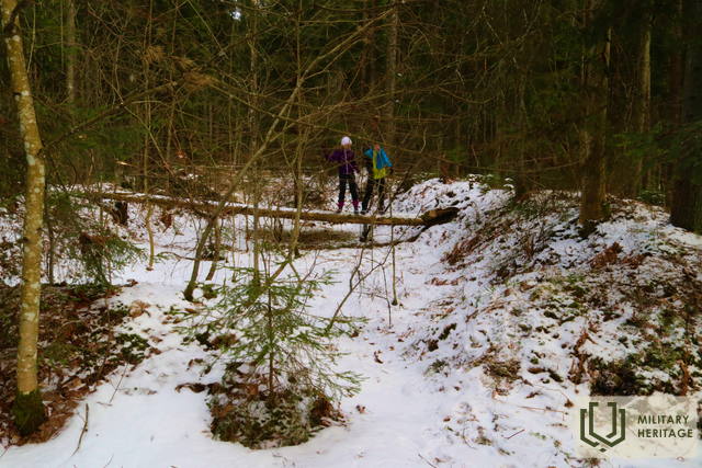
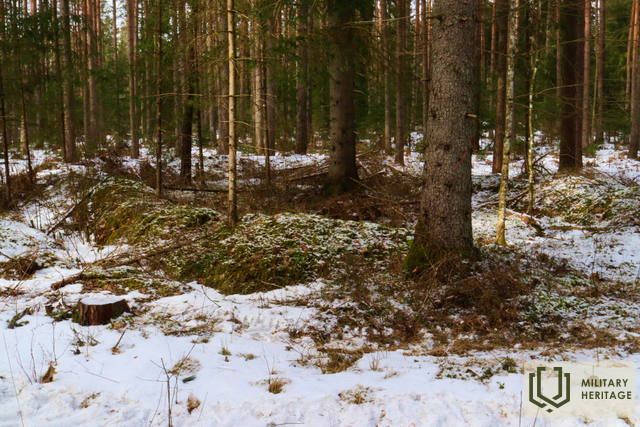
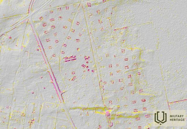
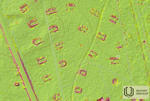
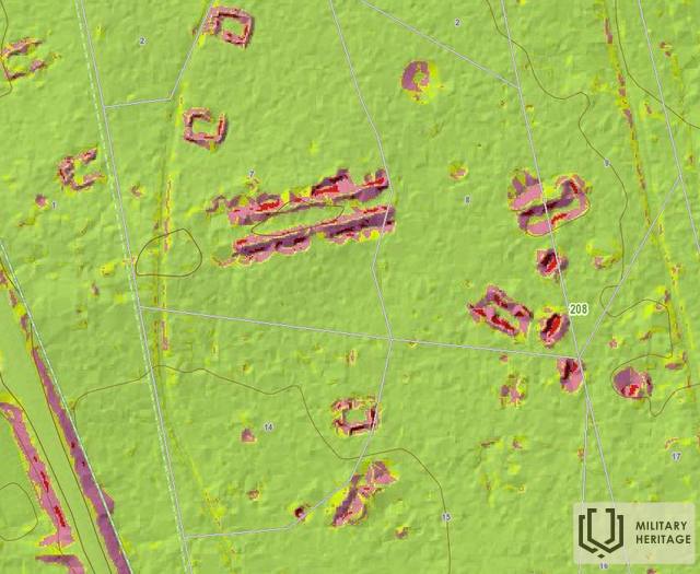
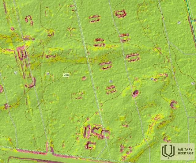
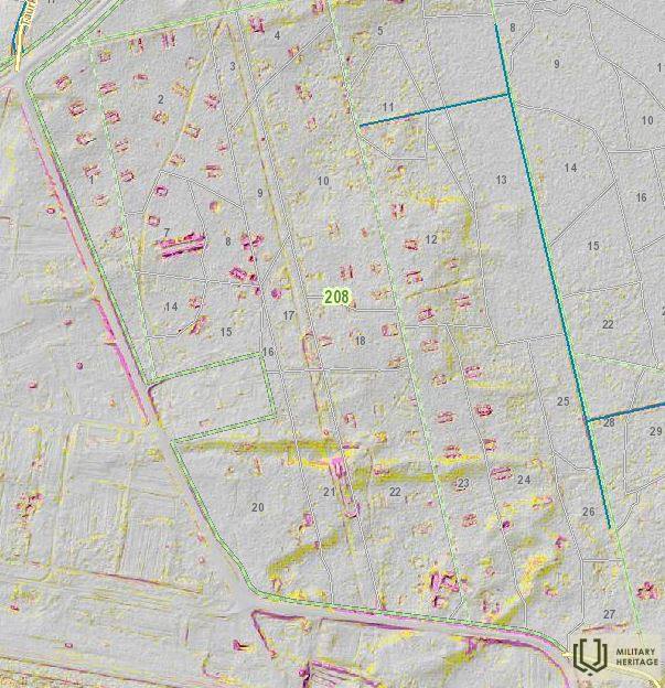
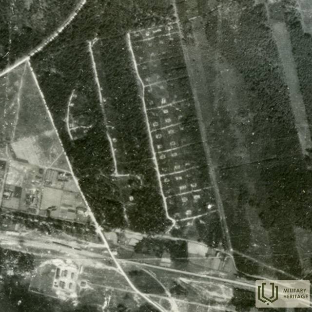
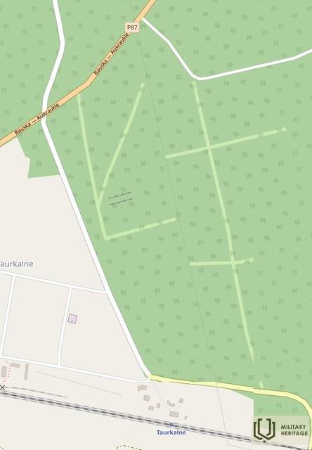
Approximately 0.7 x 0.4 km large, forested area north of the Jelgava-Krustpils railway and east of the village of Taurkalne, crossed by a forest road and trails. In nature and on LIDAR maps, about 100 rectangular pits dug in straight rows with small ramparts and an exit are visible. According to Daumants Krastiņš: “German warehouses partially buried in the ground. The superstructure has a wooden or corrugated tin roof. Here, some longer ones with entrances at both ends were personnel barracks. Nearby is the normal and rural railway station of the First World War, but during the Second World War the superstructure could be restored and used for the supply of the Nord group, using the nearby Daugava bridge. If ammunition was stored during the Second World War, then they managed to use it until it was airdropped on 19 or 20.09.1944.” Stories from local residents have survived about the German army's underground passages and a dug-in bunker in one of the hills in the area, as well as a German train that "entered underground under the mountain."
Used sources and references:
1. Historical, LIDAR and other maps: https://vesture.dodies.lv/#m=15/56.71776/24.69606&l=O/KDW
2. Map “1914 – 19 Karte des Weslichen Russlands”


