Smėlio kalva Mūšio vieta


 82
82


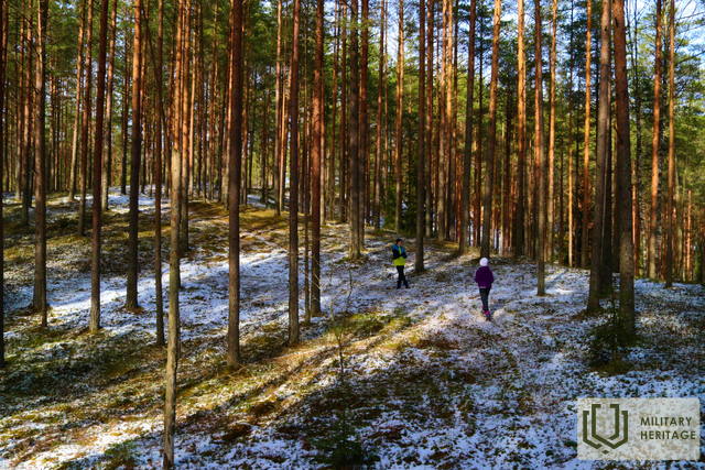
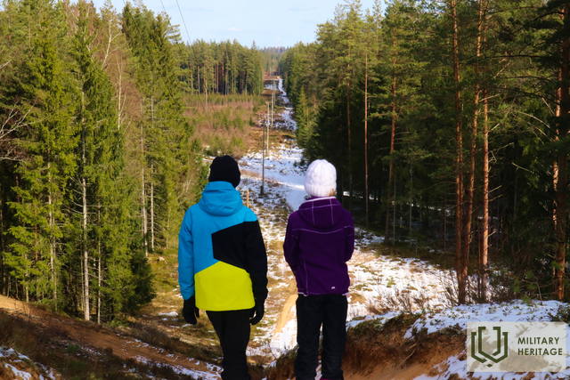
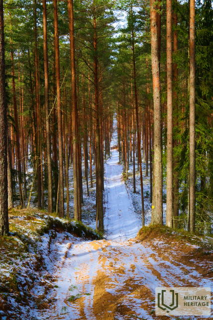
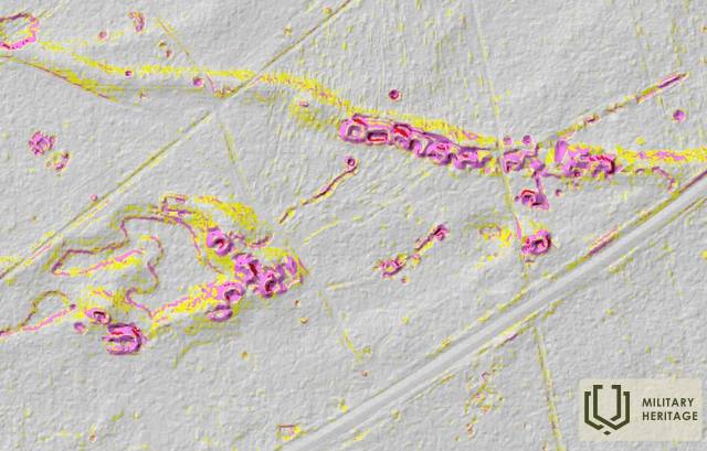
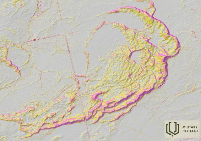
Įsikūręs Bauskės–Aizkrauklės (P87) kelio pakraštyje, 2,5 km į šiaurės rytus nuo Taurkalnės – tarp minėto kaimo ir Dauguvos. Smilšu kalno (84 m virš jūros lygio) atveju turime kalbėti apie gana didelį, apie 2 km pločio ir 3 km ilgio sausumos kopų masyvą, kurio aukščiausias taškas yra minėtas kalnas. 2,9 km į šiaurės rytus nuo Smilšu kalno kyla tokio pat aukščio Priežu kalnas. Tarp Smilšu ir Priežu kalnų, žvelgiant į vietovę gamtoje ir LIDAR žemėlapiuose, galima pamatyti tankų Pirmojo ir Antrojo pasaulinių karų laikų infrastruktūros tinklą – apkasus, pastatus, sandėlius ir kt., kurie gamtoje pasireiškia kaip įvairaus dydžio ir formos duobės ir grioviai. Tokie „pėdsakai“ kai kur matomi ir Smilšu kalną supančių kopų šiaurės ir rytų šlaituose. Atsižvelgiant į tai, kad Bauskės–Aizkrauklės kelio gale Antrojo pasaulinio karo metu vokiečių armija pastatė tiltą per Dauguvą (išliko krantų atramos), ant Āmurų kalno buvo pastatytas vadinamasis „Flakturmas“ tiltui apsaugoti, o Taurkalnėje buvo geležinkelio stotis ir, pasak legendos, šaudmenų sandėliai, ši teritorija turėjo svarbią karinę ir strateginę reikšmę. Mažiau nei už kilometro nuo Smilšu kalno kopų masyvo gamtoje ir LIDAR žemėlapiuose galima atsekti ištisinę apkasų liniją, kuri juosia Priežu kalną ir tęsiasi daugiau nei 9 km vakarų-šiaurės vakarų kryptimi iki Enkurniekių–Lačplēsio kelio. Ji taip pat tiksliai atkartoja toliausiai nuo kairiojo Dauguvos kranto esančią apkasų liniją žemėlapyje „Zusammendruck Riga, Gezeichet u.gedruckt vd Vermessungs“, esančiame Latvijos nacionalinės bibliotekos žemėlapių rinkinyje. Smilšu kalno apylinkės puikiai tinka žygiams pėsčiomis.
Panaudoti šaltiniai ir literatūra:
1. Latvijos nacionalinės bibliotekos žemėlapių kolekcija, žemėlapis „Zusammendruck Riga, Gezeichet u.gedruckt vd Vermessungs“ – Abt.18., 1: 100 000“.
2. Istoriniai, LIDAR ir kiti žemėlapiai: https://vesture.dodies.lv/#m=15/56.71776/24.69606&l=O/KDW


