Shooting range (Schießstand) Infrastructure


 64
64


It is located in a larger forest massif between Żega, the former Kurland Monument (Kurland Denkmal) near the so-called Prince Leopold Street (Prinz – Leopold Straße). The object may be difficult to find for the uninitiated, so it is recommended to use geographical coordinates for the search.
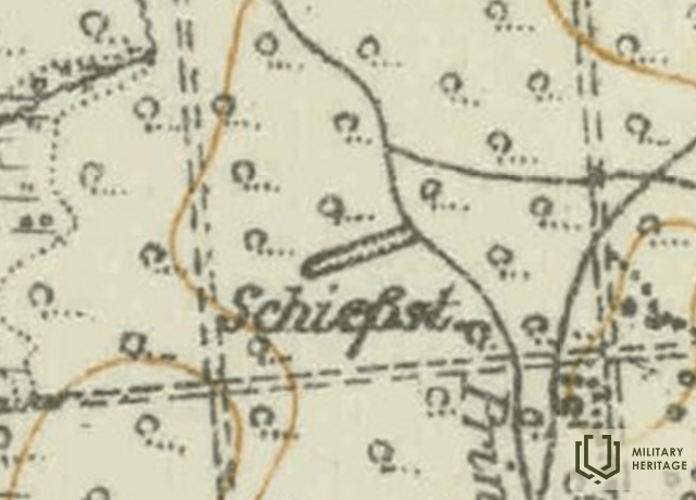
Supposedly, - An open-air shooting range built by the German army during World War I for shooting practice. On the map from the time of World War I, this place is marked “Schießst.”. It is believed that it served as a shooting practice site (“Schießstand” in German – shooting range). In the direction towards Tomi (to Tomi), two more shooting ranges are marked on the aforementioned map. The one closest to Tomi can be found and seen in nature.
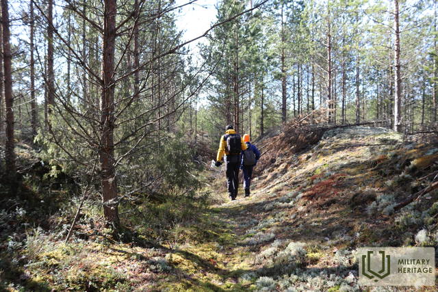
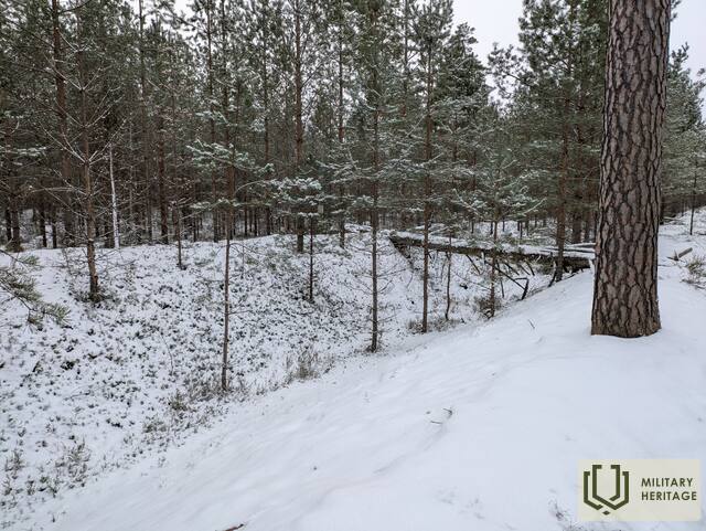
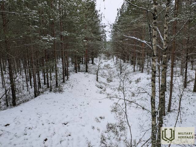
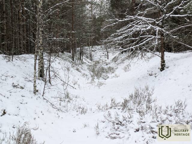
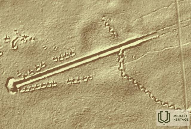
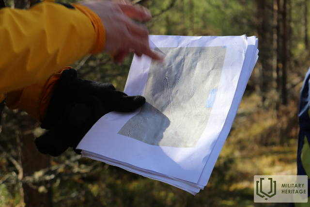
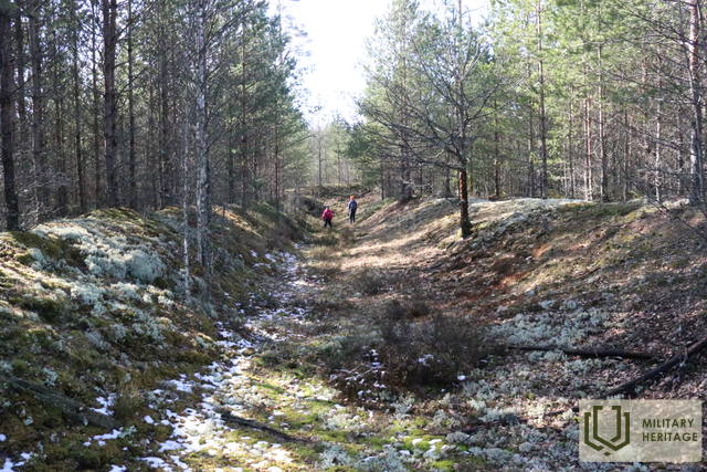
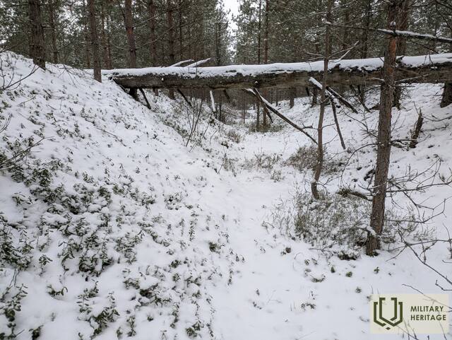
The area around the shooting range is covered with young pine trees, wolves live in the area (you can find their feces). On LIDAR maps and in nature, a continuous line of trenches 1.5 km long is visible southeast of the shooting range, but in the northwest a line of short (about 50 m long) and interrupted trenches extends all the way to the Ķegums HPP. In nature, the object appears as an approximately 300 m long, straight, northeast-southwest oriented “passage”, which is surrounded on both sides by up to 2 m high ramparts overgrown with lichens and moss. The highest rampart is at the end of the shooting range (3 - 4 m). The shooting range is surrounded by rectangular pits of the same size.
Used sources and references:
1. Historical, LIDAR and other maps: https://vesture.dodies.lv/#m=15/56.71776/24.69606&l=O/KDW
2. Map “1914 – 19 Karte des Weslichen Russlands”
Related stories
Life during World War II on the Kegums side
Memories of the now distant royal era flashed through. For the older generation, it would remind them of their own experiences, while for the younger generation, it might bore them.


