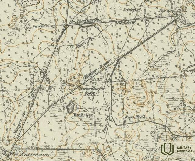
Ķeizerdambis (Kaiser - Damm) Infrastructure


 57
57


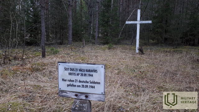
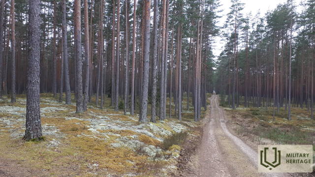
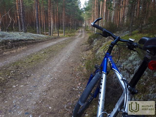
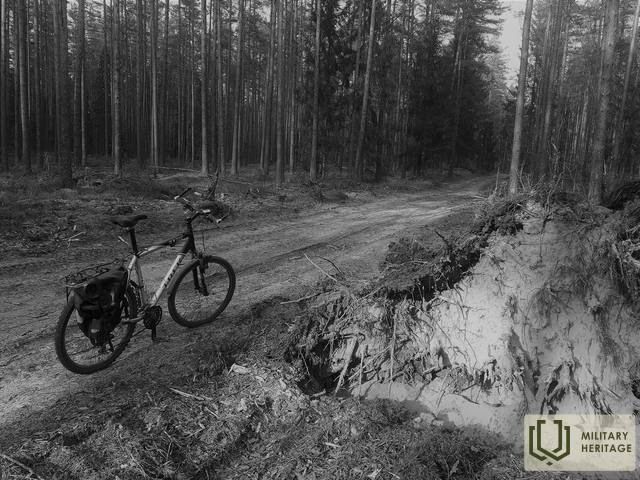
The German army maps of the First World War marked an approximately 8 km long road with this name, starting at the former Kurland Monument (Kurland Denkmal), or later popularly called the Mātīte Monument, and ending at the former Auermann House (Auermann). Today, the Ķeizerdambis, oriented in a northeast-southwest direction, can be walked or cycled along its entire length. It stretches for approximately 4 km as a forest-earth (in places with large gravel chips) road, and 4 km as a gravel road (coinciding with the Abermaņa and Egle - Kaulupe roads built by the Latvian State Forests). The section between the Elge - Kaulupe road and the Abermaņa road is also called the Mātīte path on LVM maps. In its middle section, the Ķeizerdambis crosses a beautiful inland dune massif, in the vicinity of which wartime trenches and construction sites are visible on LIDAR maps. A white wooden cross has been erected near the former Aurmanis house at the site where 21 German army soldiers are buried (who fell around September 20, 1944).
It is possible that the name Kaiserdamm, which originated when the German army was stationed here during World War I, comes from Kaiserdamm – a 50 m wide and 1,680 m long street in Berlin, opened in 1906.
Used sources and references:
1. Kaiserdamm, https://en.wikipedia.org/wiki/Kaiserdamm
2. Latvian State Forest Maps: https://www.lvmgeo.lv/kartes
3. Historical and other maps: https://vesture.dodies.lv/#m=15/56.71776/24.69606&l=O/KDW


