Rata Hill Infrastructure

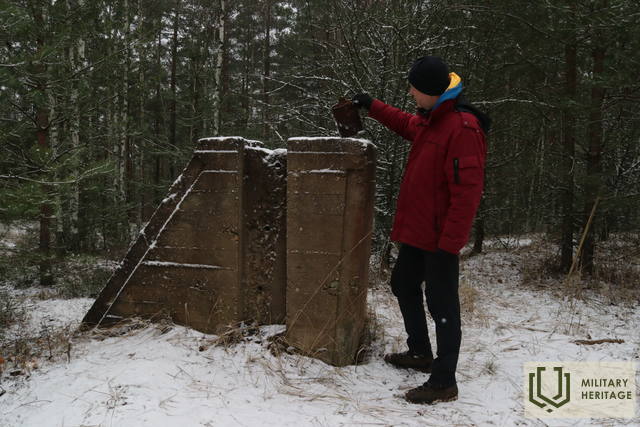
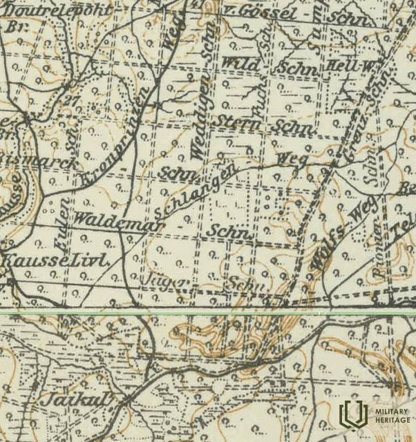
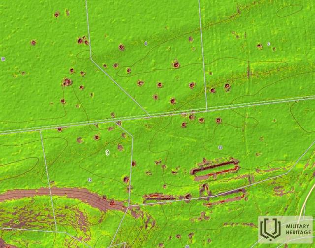
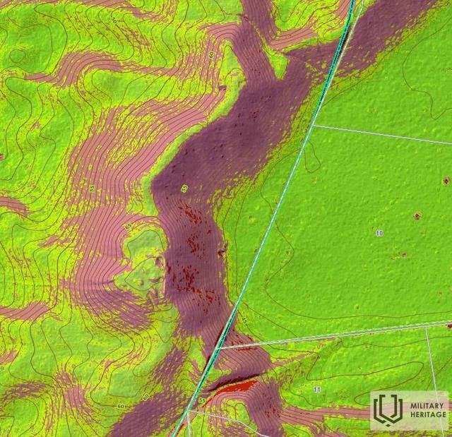
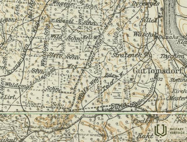
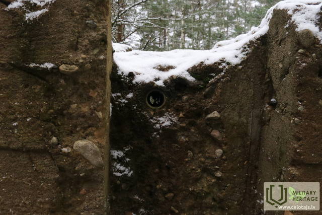
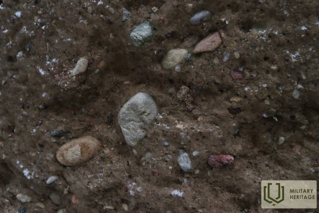
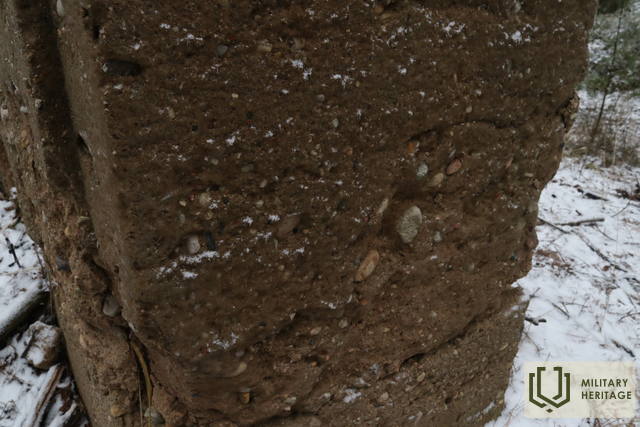
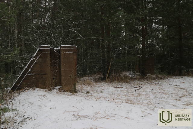
The highest point of the inland dune massif, located west of the village of Tomes, is Rata Hill (67.8 m above sea level). Light pine forests tower in its vicinity, allowing a good view of the backs and slopes of the impressive dunes. Rata Hill is easily reached on foot (0.6 km) from the Latvian State Forests (LVM) recreation area “Sēņotāju māja”. On both sides of the small forest road, along which we follow towards the hill, more than 40 similar-sized rectangular pits and three trench-like trenches about 50 m long are visible in nature (and on LIDAR maps). It is possible that during the First World War there was a German army warehouse here, surrounded on three sides by the nearby dunes. It is believed that the concrete structures at the highest point of Rata Hill are the remains of a former fire observation (or triangulation?) tower, the wooden parts of which were attached to concrete poles. An article about a ski trip to Rata Hills can be found in a Soviet-era periodical. An annual mushroom picking championship is held in the vicinity of Rata Hills.
Used sources and references:
1. Map “1914 – 19 Karte des Weslichen Russlands”
2. Maps of JSC “Latvijas Valsts meži”: https://www.lvmgeo.lv/kartes
3. Historical and other maps: https://vesture.dodies.lv/#m=15/56.71776/24.69606&l=O/KDW
4. Latvian parishes. Encyclopedia. 2001.
5. Back on skis. Riga Voice, No. 34. (10.02.1984.) from LNB Periodicals.
Related stories
Life during World War II on the Kegums side
Memories of the now distant royal era flashed through. For the older generation, it would remind them of their own experiences, while for the younger generation, it might bore them.


