
Panga Military Trail Trail


 228
228


This military hiking trail is situated on the north coast of Saaremaa, 1.5 km north-west of the village of Panga. The most convenient access to Panga is via Võhma.
The trail is situated along Panga Bank, which is the highest bank of exposed bedrock anywhere in Western Estonia and on the islands. Its length and openness to the sea are what make the bank special in terms of terrain and attractive to tourists. It is situated in Panga Nature Park, surrounded by the Baltic Sea to the north and north-east, by the mouth of Küdema Bay (an important bird site) to the west and by forests to the south and east.
Panga Bank did not see any active combat. The area was used for defence purposes, as it was a restricted access zone on the border of the Soviet Union.
The sundial marks the place where a searchlight once stood, guarding the national border.
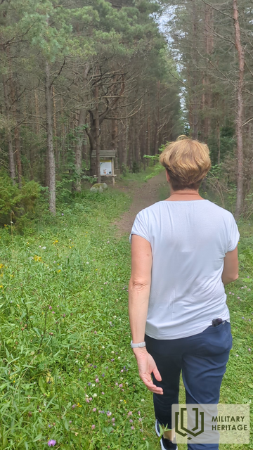
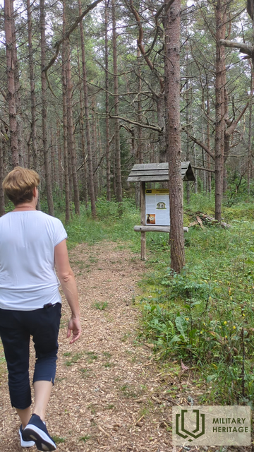
Today the 2 km long military hiking trail passes by the ruins of a variety of military facilities.
