Lokatoru hill Infrastructure

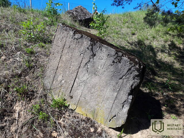
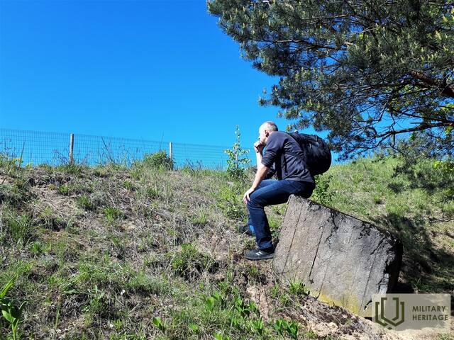
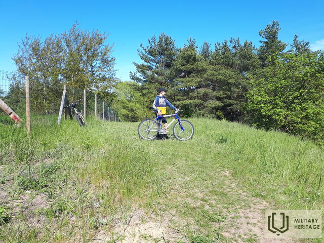
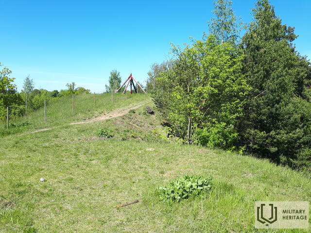
Locator Hill, 2020. Source: Latvian Rural Tourism Association "Lauku ceļotājs", author: Juris Smaļinskis.
Loading...
56.9793,24.0531
Spilve, Rīga, Latvia


 7
7


Located in Riga, Spilve, at the highest point of the Nordeķu - Kalnciema dune ridge - in the eastern part of Kleistu forest near Dzirciema street. During the Soviet era, two (later one) P - 35 radars operated here, which rotated around their axis. At that time, the residents of the area had nicknamed this place "Lokatoru kalniņu". In the immediate vicinity of it, in the 1980s, sports classes and competitions of Riga 58th secondary school (now - Iļģuciem secondary school) took place. The reinforced concrete foundations on which the locators were installed have survived to this day. To the north of the "Lokatoru kalniņu" was a Soviet army pig farm, to the east - Spilve airport.


